In operation
From maritime surveillance to autonomous systems coordination.
AEGIR's capabilities address concrete operational needs across complex environments.
8 use cases1 use case2 use cases1 use case
Maritime surveillance
Maintain maritime situational awareness by turning multiple data sources into a clear and actionable operational picture.NavalPowered byVision
The challenge
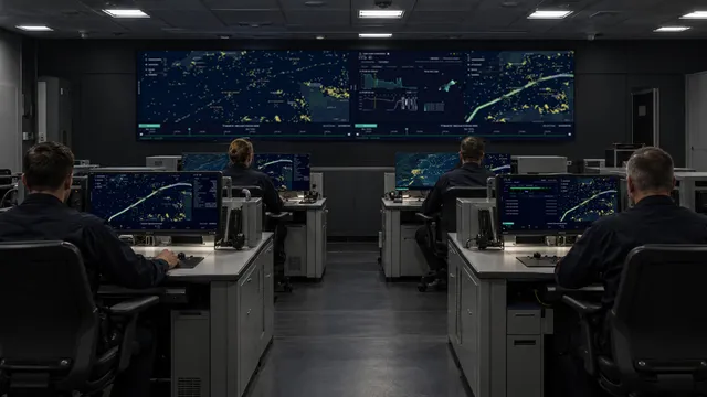
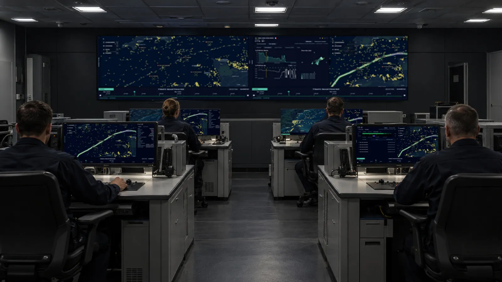
In a maritime command centre or embarked staff, operators monitor thousands of vessels across vast areas, looking for unusual behaviour and tracking those that matter. Data comes from multiple sources, in different formats and at different refresh rates, leaving operators to reassemble the picture across several screens.
in operation
OCTOPUS automatically correlates data from multiple sources into one maritime picture. Operators can follow vessels of interest, understand how information has been correlated and flag unusual behaviour, focusing attention where it matters most.
How it works
MULTIPLE SOURCES
From seabed sensors to satellites, refreshed at different rates.
CORRELATED
Automatically correlated by OCTOPUS Vision.
ONE MARITIME PICTURE
A shared picture with traceable correlations.
FOLLOW & FLAG
Attention goes where the potential threats are.
Electromagnetic warfare
Turn scattered electromagnetic activity into one picture the command can read and act on.Joint & Multi-DomainPowered byVision
The challenge
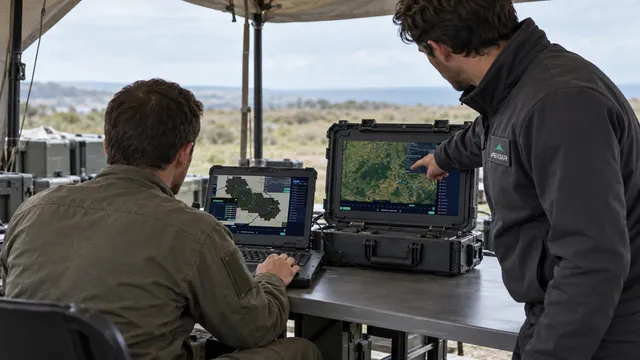
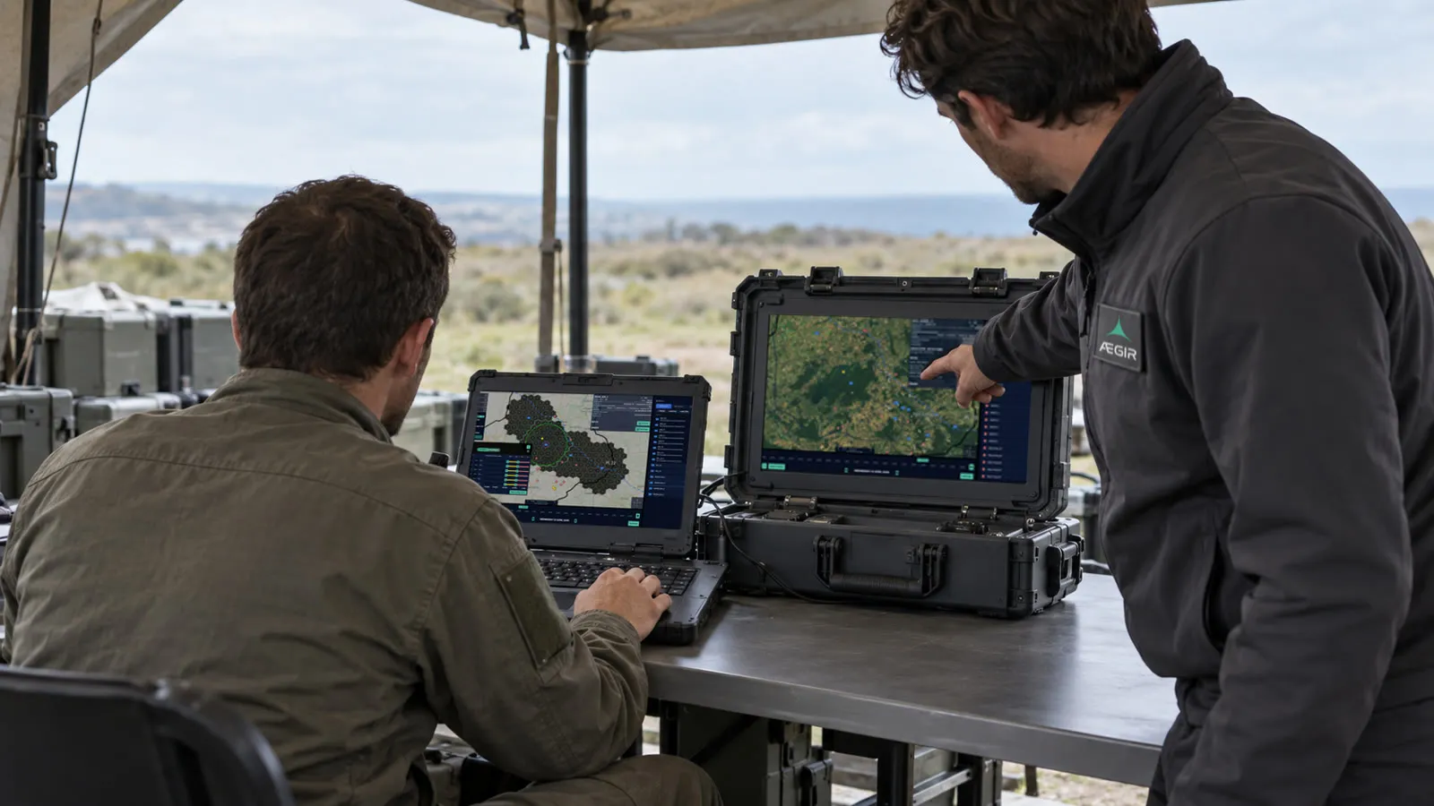
Electromagnetic information is fragmented across systems, formats and specialist teams. Yet commanders need a clear, shared understanding of the spectrum to identify threats, make decisions and coordinate operations.
in operation
OCTOPUS brings fragmented electromagnetic data into a shared picture that evolves in real time, giving commanders the clarity they need to act and coordinate across the force.
How it works
FRAGMENTED INFORMATION
Spread across systems, formats and specialist teams.
FUSED
OCTOPUS brings together electromagnetic data from multiple sources.
SHARED PICTURE
A shared picture that evolves in real time, built for command-level decision-making.
COORDINATED ACTION
From shared awareness to coordinated action across the force.
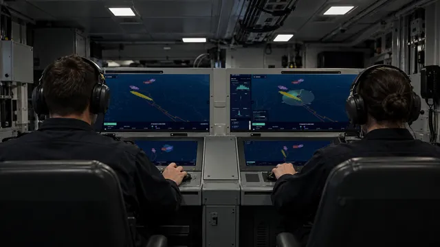
Anti-submarine warfare
Project where a lost contact can have gone, and compare the manoeuvres that would regain it.NavalPowered byVision and Decision
The challenge
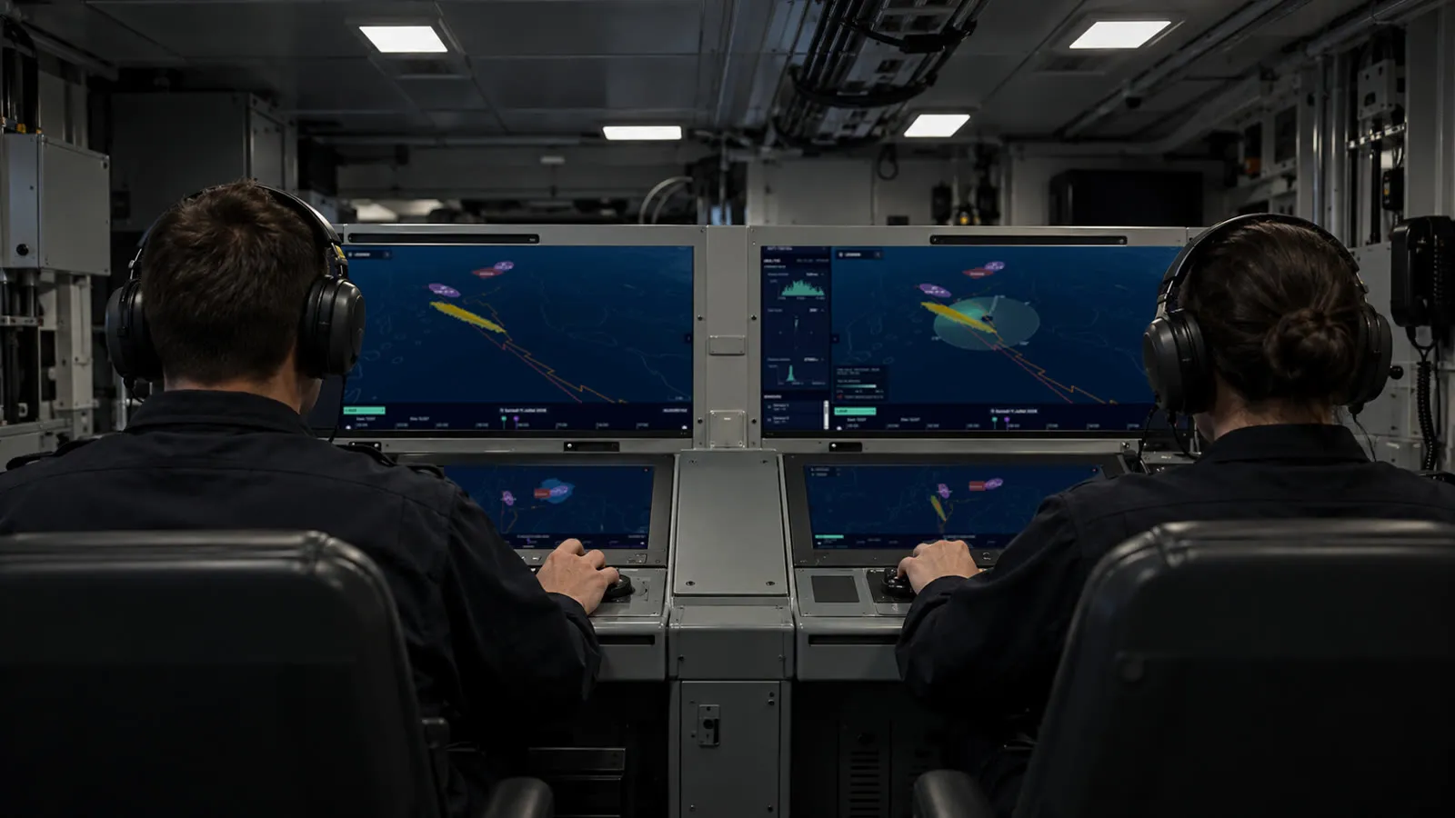
Aboard a vessel engaged in anti-submarine warfare, operators track a target designed to remain hidden. When contact is lost, available data can point to several possible tracks. Each hypothesis must be assessed quickly against mission constraints, despite uncertainty about the target's actual position and with limited time to act.
in operation
OCTOPUS continuously turns available data into actionable hypotheses. It helps crews assess uncertainty, test alternative courses of action and focus assets where they can make the greatest difference. As new information becomes available, estimates are refined, supporting faster decisions while keeping operators in control.
How it works
WHAT IS KNOWN
Last contact, target behaviour, mission constraints.
PROJECTED MOVEMENTS
Possible movements, with an estimate of risk and likelihood.
POSSIBLE AREAS
Areas where the target is most likely to be are identified.
MANOEUVRE OPTIONS
The best courses of action are assessed to maintain or regain contact.
Critical Infrastructure Surveillance
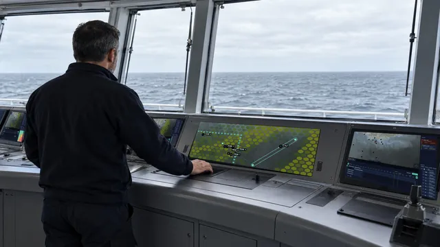
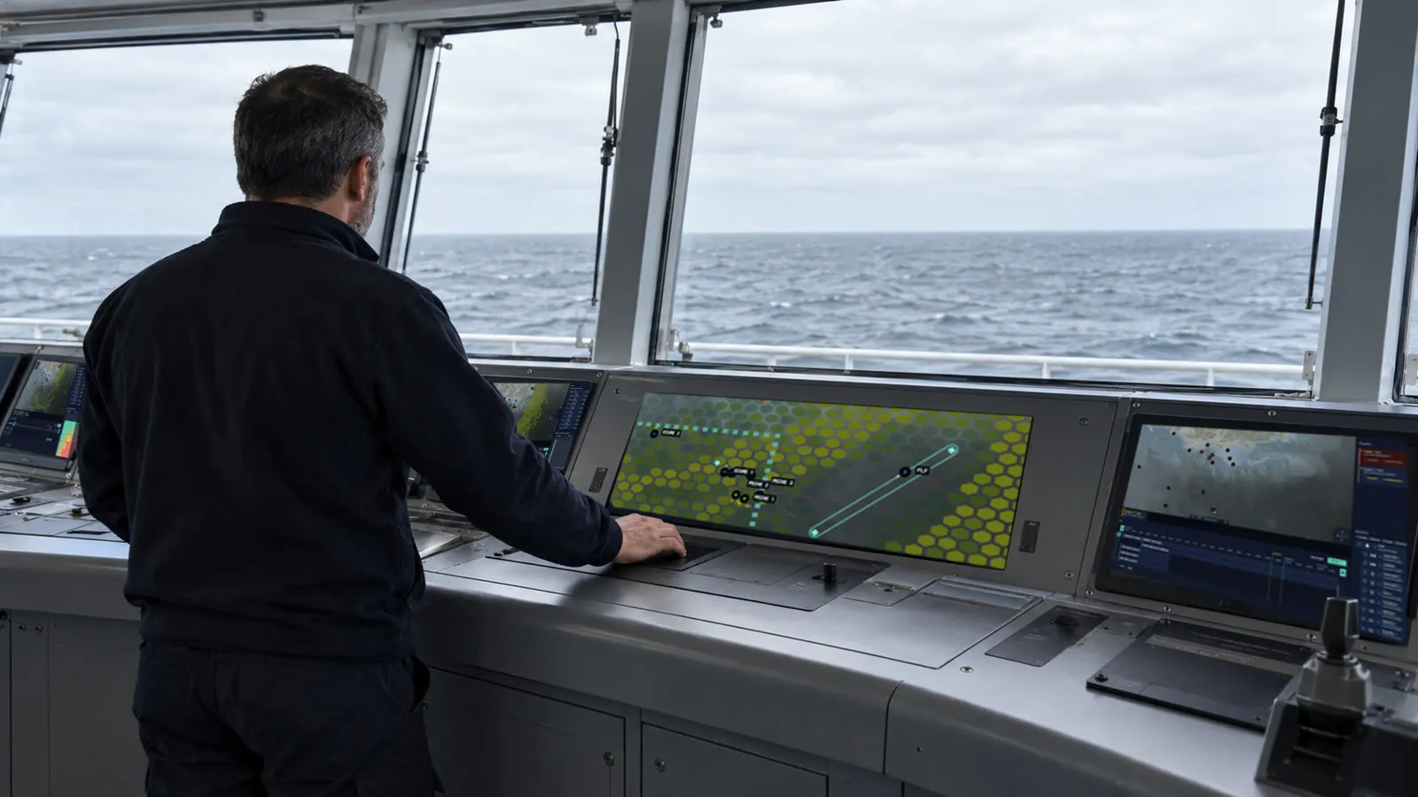
Protect critical maritime infrastructure: size the assets a surveillance mission needs, then adapt the plan at sea against a shared tactical picture.Critical Infrastructure ProtectionPowered byVision and Decision
The challenge
Ashore, the commander must determine which assets best meet the mission objective, balancing multiple parameters and limited resources. At sea, the situation evolves and information multiplies, making the tactical picture harder to read and the plan harder to adapt.
in operation
OCTOPUS brings together the mission objective, available assets and operational parameters to help identify the best-matched plan. At sea, the same shared tactical picture enables the operator to adapt the plan as the situation evolves.
How it works
MISSION NEEDS
Objective, available assets and operational parameters.
ONE SHARED PICTURE
The information that matters brought together.
IDENTIFY THE PLAN
Options assessed against the full set of parameters.
ADAPT AT SEA
The plan evolves with the tactical picture.
Seabed Exploration
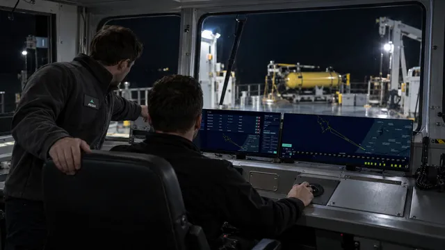
Generate, compare and adjust mission configurations in minutes rather than weeks, before and during the mission.Unmanned SystemsPowered byDecision
The challenge
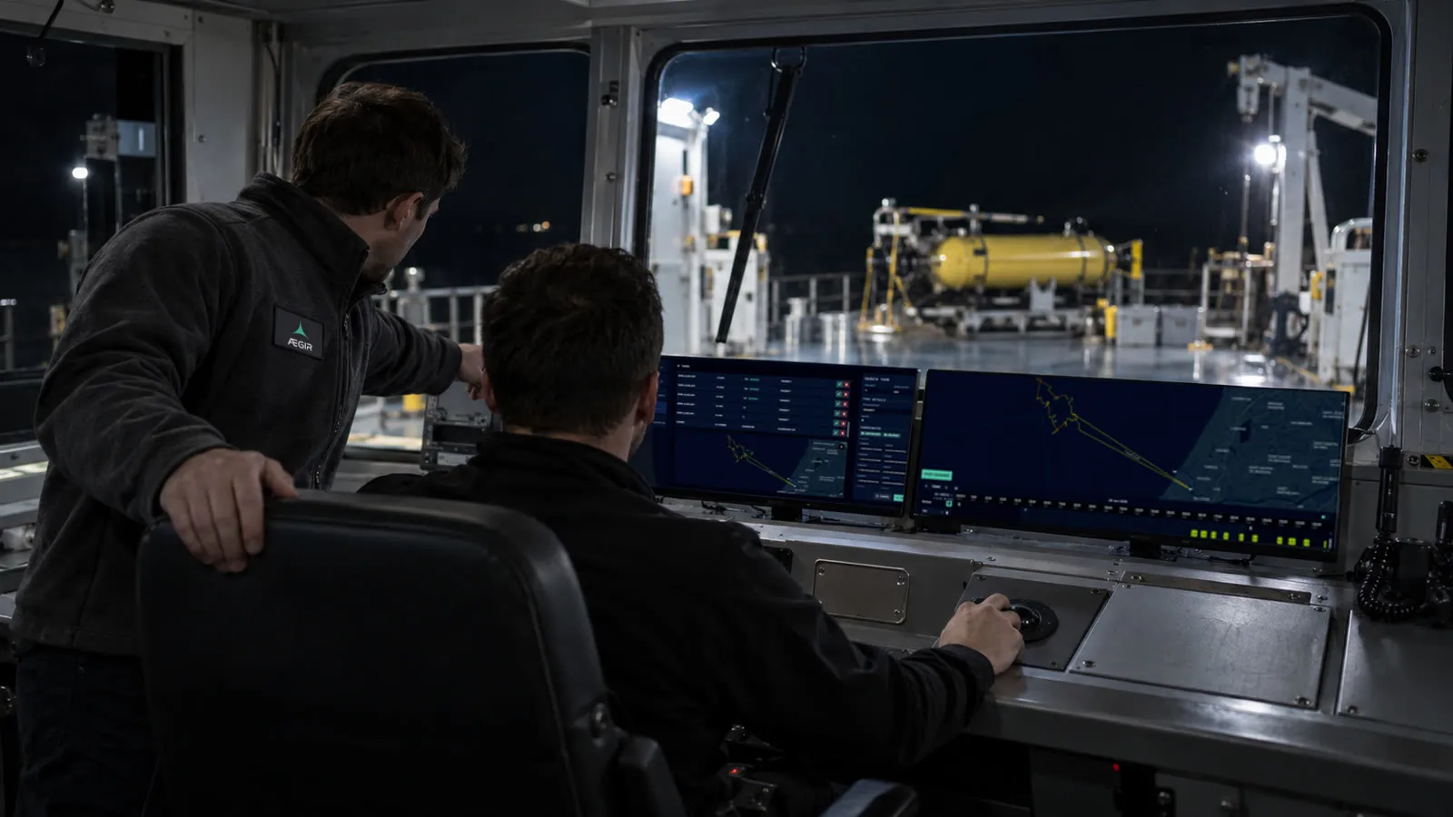
Before and during the mission, the mission commander must select the plan that best meets the objective with the assets available. But operational conditions can change at any time. Planning takes several weeks, while unforeseen changes may need to be absorbed in minutes, with too many parameters to explore every possible configuration manually.
in operation
OCTOPUS brings weeks of planning down to minutes. Before and during the mission, the mission commander can generate, compare and adjust multiple configurations to identify the one that best meets the objective.
How it works
OBJECTIVE & CONSTRAINTS
Mission objective, available assets and operational constraints.
GENERATE OPTIONS
Multiple configurations generated in minutes.
COMPARE & ADJUST
Options tested and refined as conditions change.
CHOOSE
The configuration that best meets the objective.
Coordination of Maritime Autonomous Systems
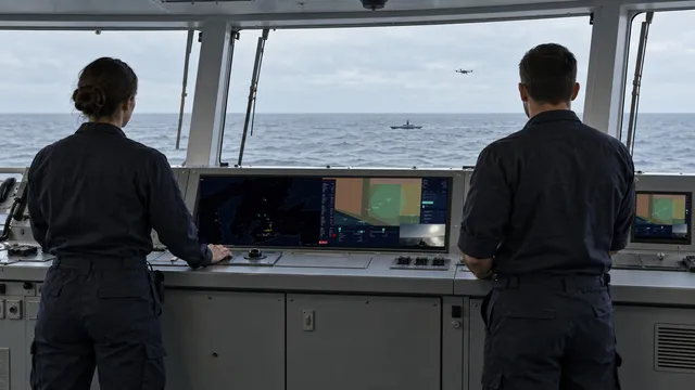
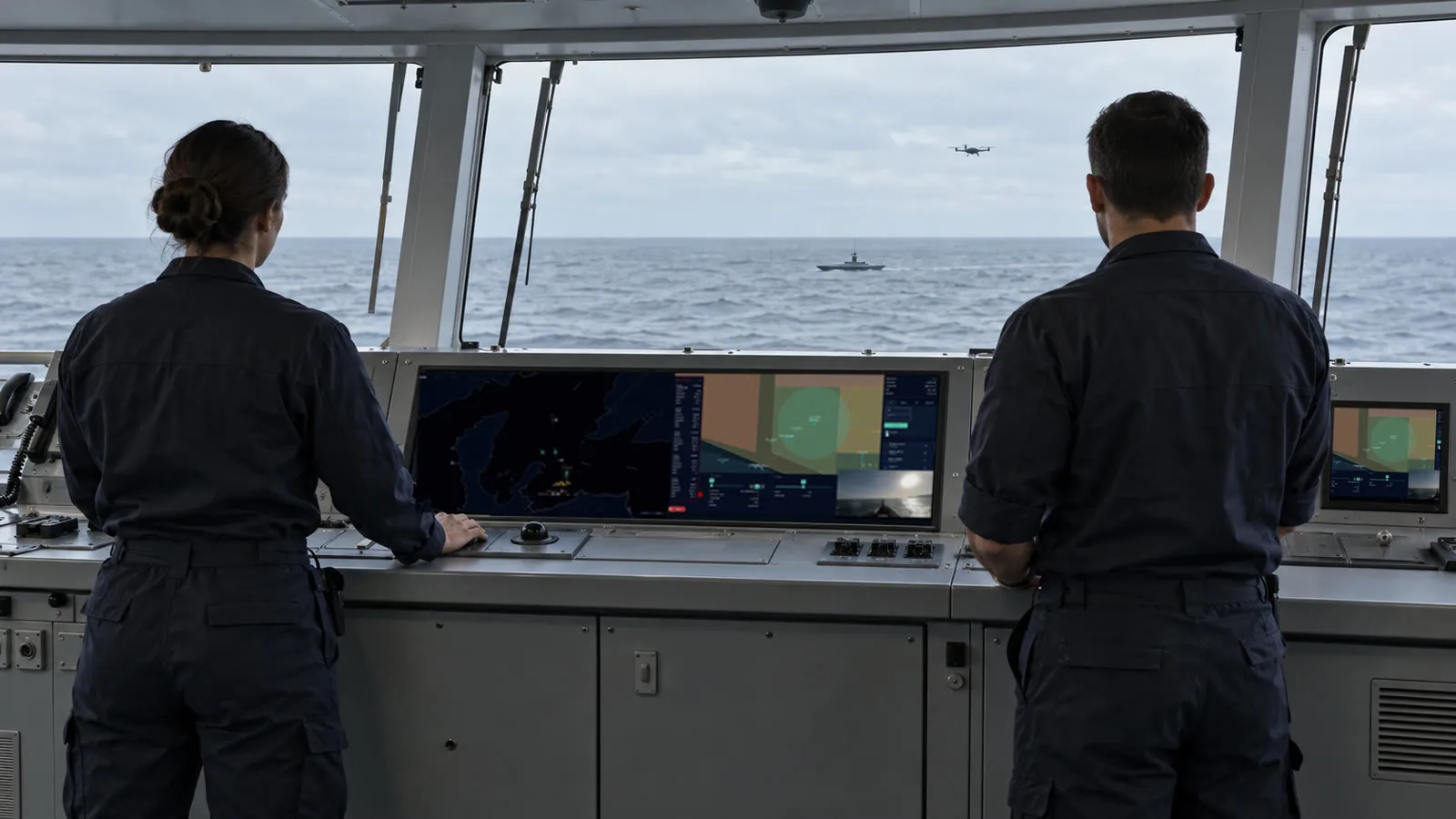
Coordinate and task multiple surface and underwater drones within the mission, with decision autonomy embedded on board and the operator kept in command.NavalUnmanned SystemsPowered byAction
The challenge
As the number and diversity of autonomous systems increase, coordinating surface and underwater drones within a single mission becomes increasingly complex. The challenge is to task multiple assets simultaneously while maintaining a clear operational picture and keeping the operator in command.
in operation
OCTOPUS turns mission objectives into coordinated tasks across multiple autonomous systems. With decision autonomy embedded on board, individual assets can execute their tasks while the operator retains command of the overall mission.
How it works
SEVERAL DRONES
Surface and underwater drones within the same mission.
EMBEDDED AUTONOMY
Onboard decision autonomy.
COORDINATED MISSION
Assets are coordinated and tasked as one mission.
OPERATOR IN COMMAND
The operator remains in command.
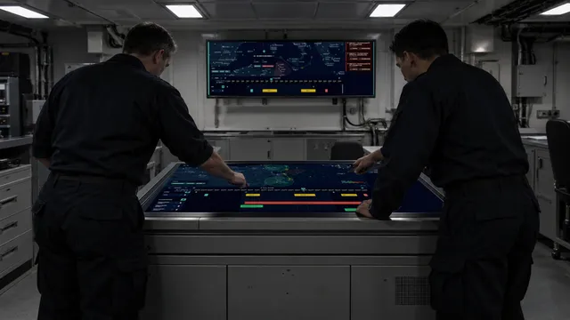
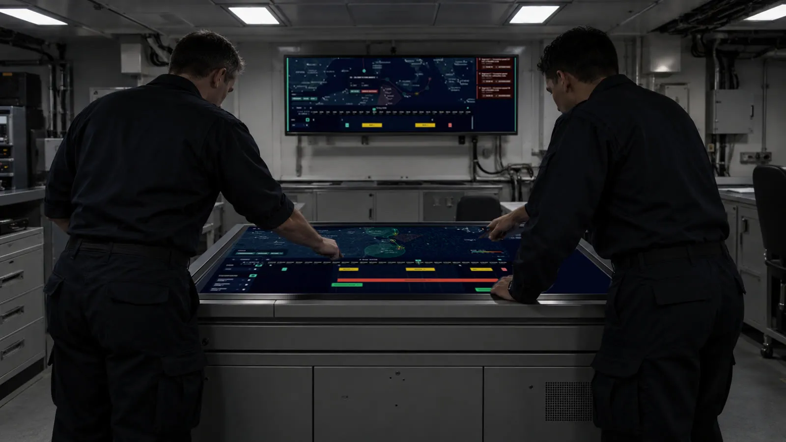
Naval Fleet Planning
Plan the group's route and its flight windows in one view, where moving a single slot recalculates the rest.NavalPowered byDecision
The challenge
The air operations officer prepares the day ahead: the group's route and the windows in which aircraft can launch and recover. The plan is built across a spreadsheet, a paper chart and voice orders passed from station to station. At the first unforeseen change, everything has to be recalculated — and communicated again across the team.
in operation
OCTOPUS brings chart, weather and schedule into a single operational view. Move a slot and the route recalculates automatically, highlighting the portions that no longer hold. Everyone works from the same plan.
How it works
MULTIPLE CONSTRAINTS
Chart, weather and flight windows.
ONE OPERATIONAL VIEW
All constraints brought together.
CHANGE A SLOT
The route recalculates automatically.
UPDATED PLAN
Changes immediately visible to the team.
Helicopter Flight Planning
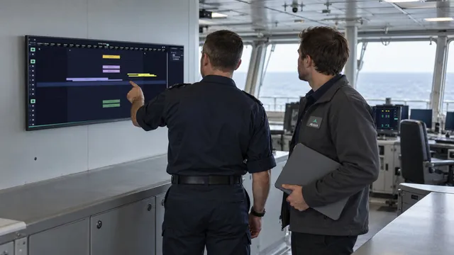
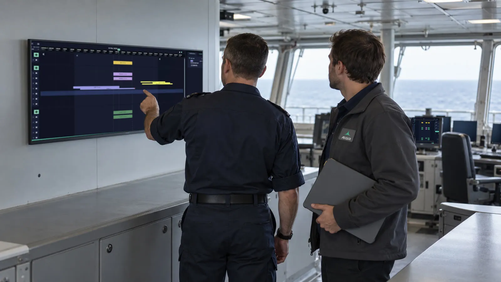
Build the helicopter schedule for a mission from a single shared plan rather than from five separate files.NavalPowered byDecision
The challenge
Before each mission, the embarked helicopter operations officer builds the schedule from multiple inputs: transport requirements, ships' planned movements, command intent and aircraft availability. These are spread across five separate files, each maintained independently. The officer must cross-check them and re-enter the information by hand, mission after mission.
in operation
With OCTOPUS, all requirements are entered once and consolidated into a single shared schedule. The team can plan helicopter by helicopter from the same up-to-date operational picture.
How it works
MULTIPLE INPUTS
Transport needs, ship movements, command intent and aircraft availability.
ENTERED ONCE
All requirements entered once into OCTOPUS.
ONE SCHEDULE
One consolidated schedule, helicopter by helicopter.
SHARED ACROSS THE TEAM
Accessible to the whole team.